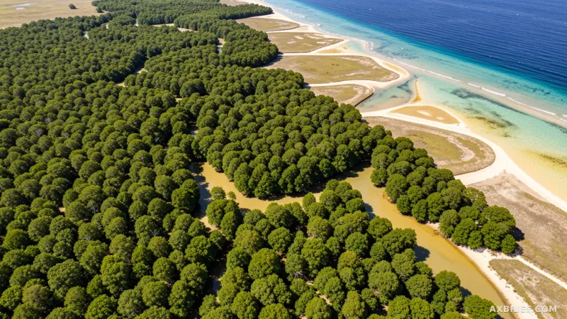
Tracking coastal ecosystems from space has long suffered from a persistent geographical bottleneck. Traditional spectral indices like NDVI, NDMI, and MVI rely heavily on single-date optical captures, which struggle in environments characterized by extreme tidal shifts and turbid water. When a baseline optimized for Indonesian coastlines is applied directly to regions in Nigeria or Brazil, coastal boundaries often distort due to temporary environmental noise like mudflats or atmospheric haze. TelePIX, a comprehensive space AI solutions provider, is tackling this challenge head-on after being selected as the sole Korean institution in the natural conservation and climate resilience track of the Google DeepMind Accelerator: AI for Earth program.
Integrating AlphaEarth Embeddings With Optical Satellite Data
The accelerator program brings together 16 organizations from across the Asia Pacific region, kicking off with an immersive bootcamp in Singapore. Participants spend three months scaling solutions across three core pillars: nature conservation and climate resilience, sustainable agriculture, and climate and carbon solutions. During this period, TelePIX collaborates directly with researchers who developed frontier AI models like the AlphaEarth Foundation, Forestcast, AnthroCene, SpeciesNet, and Perch, receiving customized mentorship to refine its global mangrove monitoring project for blue carbon ecosystems.
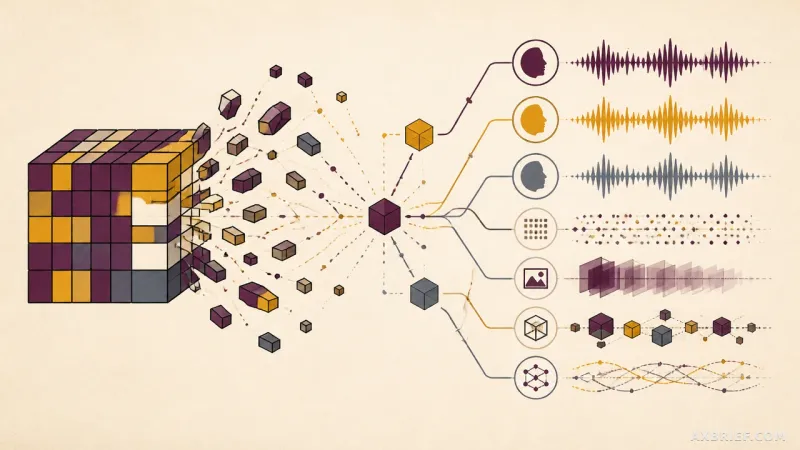
TelePIX builds its AI architecture by pairing optical band data with AlphaEarth embeddings, which compress climatic, topographic, and hydrological characteristics into 64-dimensional vectors. While a traditional optical snapshot records a single moment in time, the 64-dimensional embedding provides a persistent geographical baseline that remains unaffected by temporary weather variations or tidal movements. Within the AlphaEarth-guided spectral projection model, a specialized transformation layer compresses these high-dimensional embeddings into contextual channels. These channels run parallel to standard satellite band data, allowing the AI model to cross-verify current visual observations against underlying environmental constraints before classifying mangrove pixels.
Quantifying Accuracy Across Global Coastal Test Sets
Evaluating the model across 1,300 satellite images collected from major regions across five continents revealed robust performance metrics, with both Intersection over Union and F1 scores exceeding 90 percent on unseen national datasets. By cross-referencing visual appearances with underlying geographical context, the model successfully distinguishes true mangrove vegetation from turbid river sediment and atmospheric haze that typically trigger false positives in standard spectral analysis. This architecture ensures consistent detection accuracy across global coastlines without requiring manual retuning for individual regions.
Deploying Gemini Natural Language Reports and Gemma On-Premises
To bridge the gap between complex GIS analysis and everyday operational needs, TelePIX integrates Gemini for automated natural language reporting and supports Gemma-based on-premises deployments. Field practitioners without specialized remote sensing training can query mangrove change analysis results using conversational language, generating immediate status reports instead of waiting months for external expert evaluations. For defense organizations and public agencies bound by strict security regulations regarding external cloud uploads, the offline Gemma deployment provides an air-gapped analytics pipeline tailored to secure government environments.
Over the next three months in the Google Cloud environment, TelePIX will optimize operational infrastructure costs while proving an automated pipeline for continuous, continent-scale coastal monitoring. By combining continuous satellite observation with frontier AI analysis, environmental degradation shifts from a retroactive record into an actionable, real-time intervention.