For years, the gap between a weather forecast and the actual sky has been measured in hours. A logistics manager might see a clear window for transport based on a morning update, only to be blindsided by a sudden storm cell that formed long after the last supercomputer run. This latency is not a failure of intent but a limitation of physics and compute; traditional weather models rely on massive simulations that take hours to process, leaving a dangerous blind spot in real-time decision making.
The leap to five kilometer precision
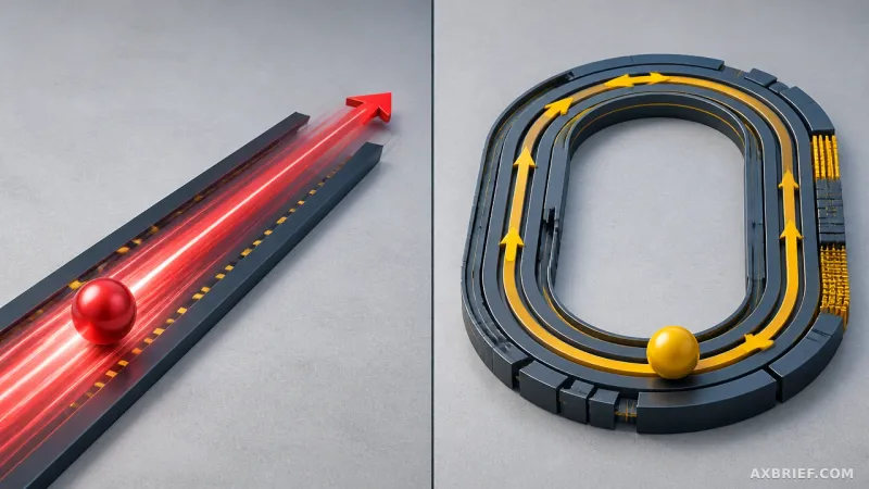
Google DeepMind and Google Research have introduced WeatherNext 3, an AI-driven forecasting model that fundamentally alters the temporal and spatial granularity of weather data. The most immediate shift is the update frequency. While traditional forecasts typically operate on a six-hour refresh cycle, WeatherNext 3 slashes this latency to just one hour. This allows users to adjust plans in near real-time as storms evolve or temperatures shift abruptly.
Beyond timing, the model drastically increases spatial resolution. WeatherNext 3 moves from a 25km grid to a maximum of 5km. In the world of meteorology, a grid is the basic unit of analysis; by narrowing this unit by five times, the model can capture hyper-local weather patterns that were previously smoothed over or ignored. These improvements are not merely theoretical. The model underwent independent live evaluation by Brightband, where its outputs were compared against actual observed measurements to verify its precision in real-world scenarios.
To ensure this data reaches the end user, Google is integrating WeatherNext 3 directly into Google Search, Gemini, and Google Maps. For the enterprise sector, the high-resolution data is available via the Google Maps Platform and Google Cloud, transforming a research breakthrough into a scalable API for industries that depend on atmospheric precision.
Replacing supercomputer simulations with FGN
To understand why WeatherNext 3 is a departure from the norm, one must look at the failure of Numerical Weather Prediction (NWP). NWP models rely on solving complex fluid dynamics equations via supercomputers. Because these simulations are computationally expensive, they create a structural delay—often six hours—between data collection and the final forecast. This lag makes it nearly impossible to accurately track rapidly changing variables like precipitation or surface temperature.
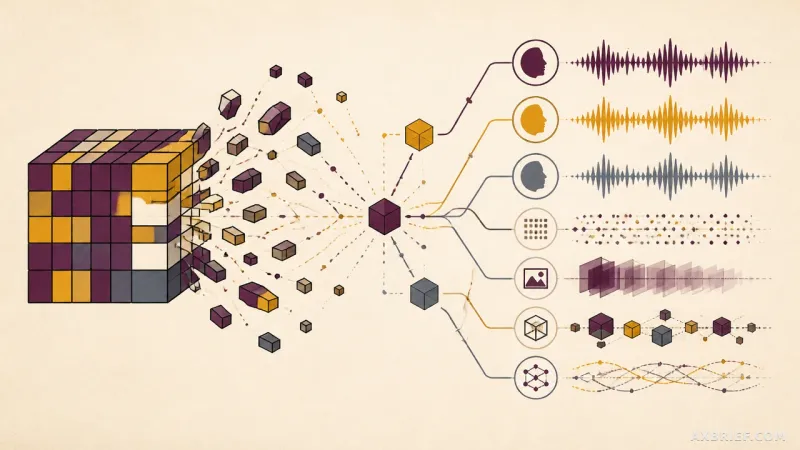
WeatherNext 3 bypasses the simulation phase entirely. Instead of calculating physics from scratch, it uses a Functional Generative Network (FGN) mesh transformer. This architecture allows the model to ingest real-time geostationary satellite mosaic data and historical analysis simultaneously within a single neural network. The FGN is capable of generating dense gridded fields while concurrently outputting discrete data, such as the specific trajectory of a cyclone. Crucially, the model can infer data for regions where physical observation equipment is sparse, effectively filling in the gaps of the global observation network.
Efficiency is baked into the model's resolution strategy. Rather than applying a blanket resolution to all data—which would be computationally wasteful—WeatherNext 3 allocates resources based on the physical characteristics of the variable. Temperature and humidity are processed at 5km, other surface variables at 10km, and atmospheric variables including wind speed at 25km. By training on actual data from global weather stations, the network internalizes the influence of complex local terrains, capturing the nuances of mountains and coastlines that formula-based simulations often overlook.
This architectural shift yields massive gains in accuracy. Using the Continuous Ranked Probability Score (CRPS), which measures how closely a probabilistic forecast matches actual observations, WeatherNext 3 demonstrated up to a 60% reduction in error compared to NASA's IMERG data. When compared to Multi-Radar Multi-Sensor (MRMS) data, the model showed a 30% improvement, and a 10% gain over actual rain gauge measurements, significantly narrowing the margin of error for localized rainfall.
This precision extends into specialized industrial variables. For the renewable energy sector, the model provides wind speed data specifically at the 100m altitude mark—the actual height of most wind turbine hubs—reducing the error in power generation forecasts. Combined with high-resolution cloud cover and ground solar radiation predictions, the model transforms from a general weather tool into a critical piece of infrastructure for solar and wind farm operators.
For emergency responders tracking wind shifts or air traffic controllers planning flight paths, these numerical datasets provide a concrete basis for judgment. In agriculture, the ability to pinpoint exact precipitation and solar radiation levels allows farmers to optimize crop management and mitigate weather-related losses with surgical precision.
By replacing the cost-prohibitive barrier of supercomputing with AI inference, WeatherNext 3 brings high-resolution forecasting to regions that have historically been underserved. In Latin America, Africa, and the Asia-Pacific, where the cost of running traditional regional models is often too high, this AI approach democratizes access to precision data. In terrains where temperature and humidity can swing wildly over just a few kilometers, the 5km resolution allows these regions to build more resilient energy grids and more effective disaster response systems.
High-resolution atmospheric data is no longer a luxury of wealthy nations with supercomputer clusters; it is now a cloud-accessible utility available through Google Cloud and Gemini.